
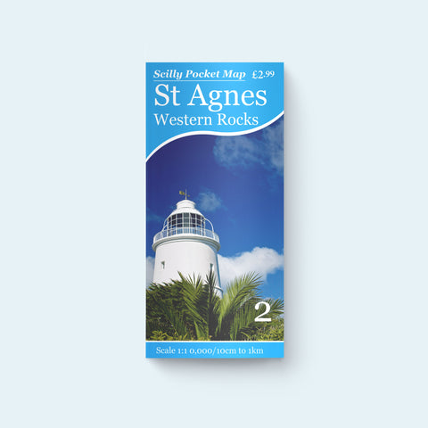


Scilly Pocket Map 2 - St Agnes, Western Rocks
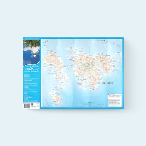
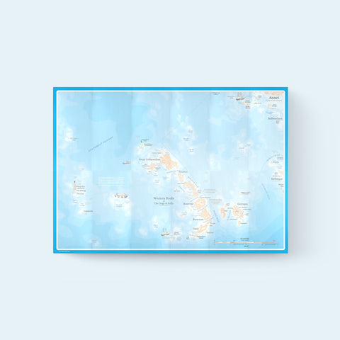
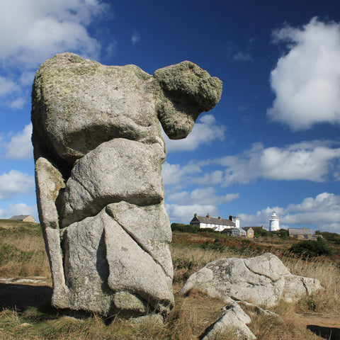
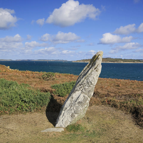
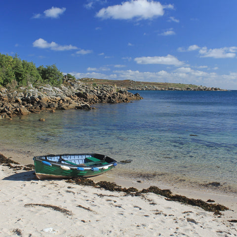
St Agnes is the smallest of the inhabited off-islands on Scilly, but one absolutely full of personality and interesting places to visit. There are strange and wonderful rocks like the Nag's Head and the Devil's Punch Bowl and like every good storybook island, it's got a lighthouse too. This pocket map includes maps of Annet and the Western Rocks and is perfect for sightseeing boat trips.
Scale: 1:10,000
ISBN: 978-1-904645-24-5
Edition: 4th (2022)
Size: A2 (594mm x 420mm)
These maps are just brilliant for use when visiting any of the islands. Clear and with masses of useful information.
Excellent and comprehensive information with great maps. A must have if you are planning to visit the Isles.
Really useful, as a child here I used to know all the names of everything, was determined to remember them again
Easy map to follow and folds away perfectly into a pocket. Covered ours with clingfilm on wet days. Highly recommend map and Friendly Guides UK as a company. Excellent service and speedy delivery. Great value for money.
Perfect for our trip
