Scilly Pocket Map Collection
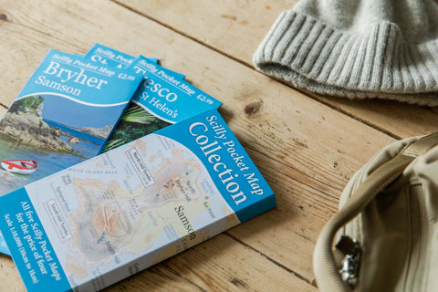
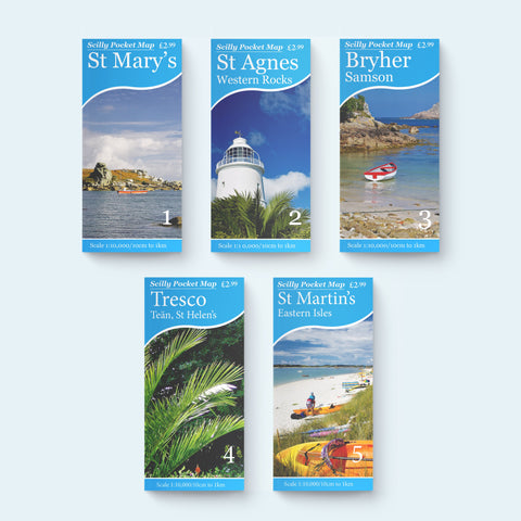
Save £3 when you buy all 5 Scilly Pocket Maps together
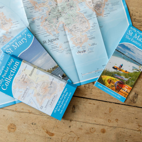
Every inhabited island on Scilly in superscale detail showing footpaths, ancient monuments, cafes, loos and ferry routes.
Scale: 1:10,000
Size: A2 (594mm x 420mm)
If you want to get the best out of your trip to the Isles of Scilly then these maps are indispensable.
The scale is much larger than the OS Maps and the fine detail shown is by far the clearest and most informative available.
As well as the main island of St Mary's all the inhabited off islands are covered by the five map series plus several of the uninhabited ones.
We have been going to the Scillies for many years and despite this we wouldn't be without these little Maps to help us make the best of our days out.
Excellent product, great value for money and highly recommended.

Very good will be put to good use this summer
These maps are ideal for exploring the various Isles of Scilly on foot
Great set of maps I was amazed with all the information and details they hold … so much so that I ordered another set for other people in our party . Can’t wait to use them in 2025 🤩
My wife and I are celebrating our Golden Wedding Anniversary. We honeymooned on The Isles of Scilly 50 years ago so returned last week. We wandered into the information shop on Town Beach on St. Mary's and my wife spotted your map of the island. We bought it, together with the Tresco and St. Marin's maps. Your maps are superb and we used them every day. They contain exactly what we needed to explore the islands. The little illustrations, drawings etc. add to the detail and I can recommend them as essential for any tourist visiting The Isles of Scilly.